Utah - Arches National Park

Arches National Park south eastern Utah near Moab north of the Colorado River. The park contains the highest density of natural arches in the world. The park is looked after by the National Park Service, originally named a national monument on April 12, 1929, and was redesignated as a national park on November 12, 1971.

There are more than 2,000 natural sandstone arches are located in the park, and a variety of unique geological resources and formations. The Delicate Arch, known as the symbol on Utah licence plates is in Arches Park.

The Delicate Arch is what first attracted me to the Red Rock country around Moab, as I've noted in previous posts, the whole area is a treasure.

The Fremont people and ancestral Puebloans lived in the area from the last ice age, about 10,000 years ago until about 700 years ago. Spanish missionaries encountered Ute and Paiute tribes in the area around 1775, the Mormon Elk Mountain Mission in 1855 attempted to settle in the area but soon abandoned the effort. Ranchers, farmers, and prospectors later settled the area around Moab in the 1880s. More recently Arches park has served as a location in the Indiana Jones movies.

I have found the best time to visit is in the spring and fall, summer is unbearably hot. There is some great hiking in the park and opportunities for classic landscape photography. Besides the Delicate Arch the are many other amazing features including Balanced Rock, a large balancing rock, the size of three school buses, Devils Garden, a collection of many arches and columns scattered along a ridge and Petrified Dunes which are petrified remnants of sand dunes blown from the ancient lakes that covered the area in prehistoric times.

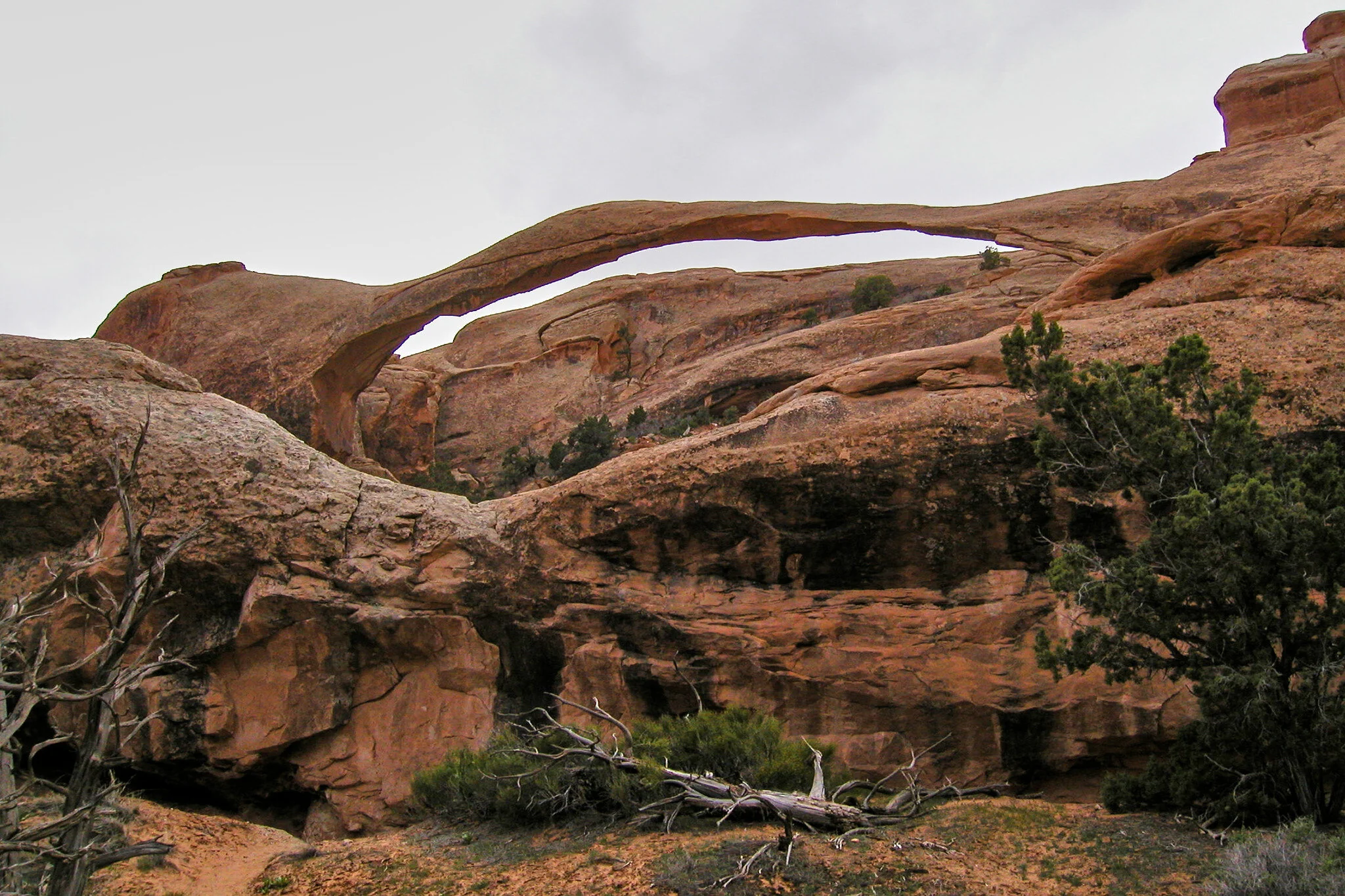
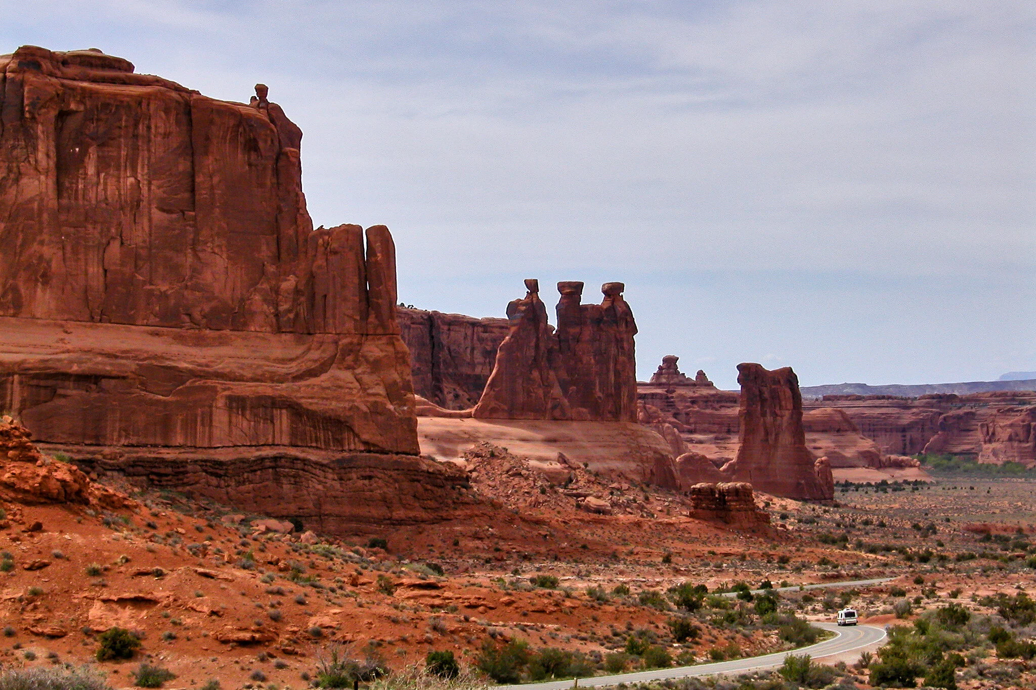
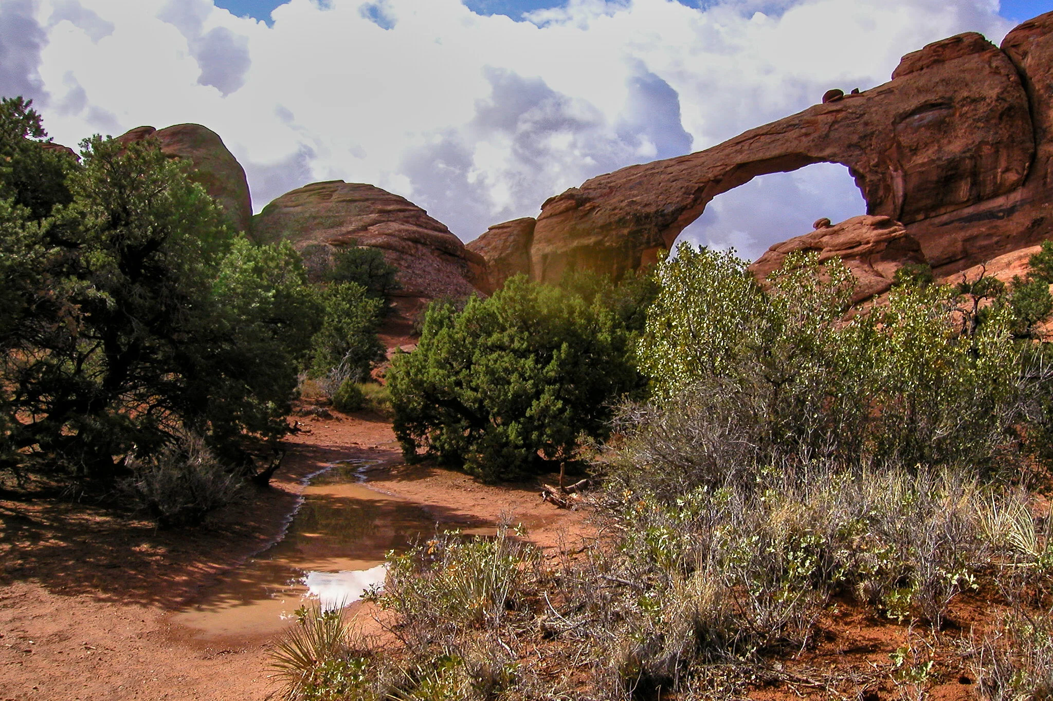
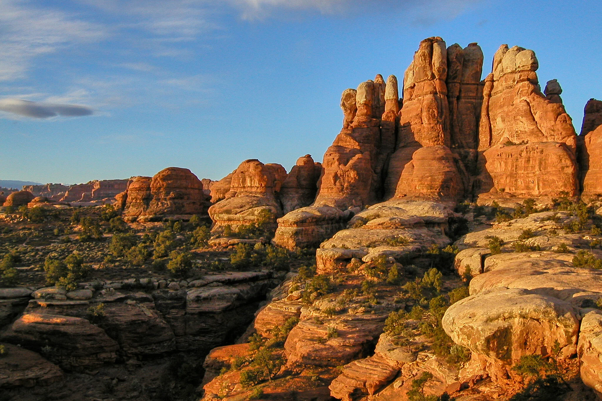
I've included a small set of photographs from Arches national Park below, enjoy!
Dean

Utah - Canyonlands

The second area I discovered on my adventure to the area around Moab was Canyonlands National Park, specifically the Needles Area, much of the Islands in the Sky is seen from the Needles, and from Dead Horse Point. My visit to Needles made me realize how huge, beautiful, and amazing this area of Utah is. As I mentioned in the first post, I think a re-visit to Moab is needed… Next time with film.

Canyonlands National Park is located south of Moab. The park contains colorful landscape eroded into numerous canyons, mesas, and buttes by the Colorado River and Green Rivers, President Lyndon Johnson created the park on September 12, 1964.

The first superintendent of Arches National Monument, Bates Wilson began exploring the area to the south and west of Moab in the early 1950s. After seeing what is now known as the Needles District of Canyonlands National Park, Wilson began advocating for the establishment of a new national park. In September 1964, Bates Wilson became the first superintendent of the new park. He is often referred to as the "Father of Canyonlands.

Canyonlands National Park is divided it into three districts by the Colorado River and Green River, called the Island in the Sky, the Needles, and the Maze. Most of the photographs below are of the Needles and the Islands in the Sky districts. The maze is somewhat inaccessible by car, and given the scarcity of water is a little dangerous to adventure into alone. The Island in the Sky district is a broad and level mesa in the northern section of the park, between the Colorado and Green rivers.

The Needles district is located south of the Island in the Sky, on the east side of the Colorado River. The district is named for the red and white banded rock pinnacles which are a major feature of the area. The Ancestral Puebloans inhabited the Needles district and some of their stone and mud dwellings are well-preserved, they also created rock art in the form of petroglyphs, most notably on Newspaper Rock along the Needles access road, I've included a shot of Newspaper Rock below.

A section of the park located north of the Maze district and largely inaccessible is Horseshoe Canyon which contains panels of rock art made by hunter-gatherers from the Late Archaic Period. (2000-1000 BC) This pre-dates the Ancestral Puebloans who lived mainly in the Needles district. The artifacts, dwellings, pictographs, and murals in Horseshoe Canyon are some of the oldest in America.

Here's some photographs of the Needles and Islands in the Sky District of Canyonlands.

Enjoy!
Dean.